Can Satellite Imagery Get Your Roof Measurements Right?
Last Updated: November 15, 2026
Quick Summary
Satellite roof measurements are useful for quick estimates but are not error-free, and accuracy depends on the roof, the image, and what is being measured. Complex roofs, tree cover, old imagery, and inferred pitch are the main sources of error, so verify roof measurements against the actual roof before relying on a quote.
- Accuracy depends on the roof, the image, and what is measured: total area, planes, pitch, or linear feet.
- Imagery reports are most reliable on simple gable and hip roofs with recent, clear images.
- Complex roofs, dormers, valleys, steep pitches, and recent storm repairs cause the most error.
- Ask whether a quoted accuracy percentage applies to total area, individual planes, or pitch.
- Verify the outline, image date, plane count, pitch, and total area before trusting a quote.
Table of Contents
- How Satellite and Aerial Roof Measurement Works
- How Accurate Are Satellite Roof Measurements?
- Common Sources of Measurement Error
- Google Earth Roof Measurements: What They Can and Can't Tell You
- Drone vs. Satellite Roof Measurements: Comparing Methods
- How to Verify Roof Measurements Before You Trust a Quote
- Booking a Free Inspection to Confirm Your Roof's Numbers
- Frequently Asked Questions
Roof measurement errors from satellite imagery can add up to real money on a quote. At Roof Repair Company, we use satellite technology to give homeowners instant, transparent pricing, and we think you should understand exactly where that technology is strong and where it falls short. Satellite roof measurement is fast and useful, but it is not error-free. Published accuracy claims vary, and the figures you see in marketing rarely come with the methodology behind them. The useful question is not whether satellite measurement works, but when its errors matter and how to check them before you sign anything.
How Satellite and Aerial Roof Measurement Works
Satellite and aerial roof measurement uses overhead imagery to estimate a roof's dimensions, pitch, and planes without anyone climbing onto the roof. Software identifies roof edges and facets in the image, then converts those shapes into square footage and a material estimate. Some services add 3D elevation data or AI-based modeling to improve the result.
Each step introduces a possible error. The image may be old, taken at an angle, or partly blocked. The software may misread where one roof plane ends and another begins. Understanding these steps helps you judge any measurement report you receive.
How Accurate Are Satellite Roof Measurements?
Satellite roof measurements are useful for estimating, but "accurate" is not a single number. You can check how accurate an online roof estimate is yourself before relying on it. Accuracy depends on the roof, the image, and what you are measuring, total area, individual plane areas, pitch, or linear feet of ridge and eave. A report can be close on total square footage and still be wrong on the ridge count that drives material orders.
Accuracy figures for satellite and aerial imagery are often stated against total roof area rather than every line item, and the source of a given percentage is not always shown. That matters because roofing materials are ordered in whole squares, and waste factors are applied on top. If the report understates area by 5% and the installer orders with a standard 10% waste factor, the buffer absorbs the error on a simple gable roof, but on a cut-up roof with multiple valleys, the same 5% error can push the order short after the waste is consumed by hip and valley cuts. Because the usable buffer depends on how well the roof’s edges and cuts are captured, checking the imagery’s source, resolution, and access can help put an area estimate in context, as with West Michigan Aerial Documentation LLC.
Accuracy also varies by what is being measured. Total footprint area is the easiest quantity for imagery software to get close, because the outline is visible. Pitch is harder, because it is inferred from shadow length, 3D elevation data, or a small number of sampled points, and a pitch error of two degrees changes the slope factor enough to move the calculated surface area by several percent on a steep roof. Ridge, hip, valley, and eave lengths are harder still, because they depend on correctly identifying every plane edge, and that is exactly where tree cover, dormers, and intersecting rooflines cause the most trouble.
A common pattern is that imagery-based reports are most reliable on simple gable and hip roofs with clear, recent imagery and no overhanging trees, and least reliable on roofs with multiple dormers, complex valleys, steep pitches, or recent storm repairs. That is not a knock on the technology; it is a description of where the input data is clean and where it is not.
Watch out: a report that quotes a single accuracy percentage without saying whether it applies to total area, individual planes, or pitch is not giving you enough information to judge the numbers. Ask the provider what the percentage refers to and how it was validated before you treat it as a tolerance.
Common Sources of Measurement Error
Most measurement errors come from a few predictable situations. Knowing them tells you where to look when a number seems off.
Roof Complexity, Dormers, and Intersecting Rooflines
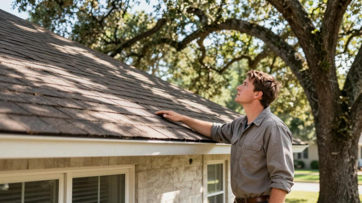
Complex roofs are the hardest case for imagery-based tools, and satellite reports are generally less dependable when a roof has complex geometry, multiple dormers, or steep pitches.
Dormers and valleys are easy to miss or misclassify from above. If your roof has several of them, expect the report to need a closer look.
Tree Cover, Shadows, Image Age, and Post-Storm Changes
Overhanging trees can hide a roof corner or edge, and shadows can make a plane look shorter or longer than it is. An older image also will not show a recent addition.
Image age matters more after a storm. If a hailstorm or wind event damaged the roof after the photo was taken, the imagery will not reflect the current condition or any repairs.
Google Earth Roof Measurements: What They Can and Can't Tell You
Google Earth imagery can give you a rough sense of roof size and layout. It is useful for a first look, especially if you want to see whether a roof is simple or complex. It is not a measurement report, and its images may be months or years old.
Treat Google Earth as a visual reference. Use a professional measurement, verified against the roof itself, when you need numbers for a quote.
Drone vs. Satellite Roof Measurements: Comparing Methods
Each measurement method has tradeoffs. The table below summarizes what the sources above describe. The accuracy figures are claims from those sources, so treat them as a starting point.
| Method | Reported accuracy (source claim) | Strengths | Limitations |
|---|---|---|---|
| Satellite / aerial imagery | ±3-5% (RidgeIQ, 2026); 95%+ (1ESX, 2026) | Fast, no roof access, instant pricing | Image age, tree cover, complex geometry |
| Drone photogrammetry | ±1-2% (RidgeIQ, 2026) | Current images, closer detail | Requires a flight, weather and airspace limits |
| Manual (tape and chalk) | About ±2% for an experienced roofer (RidgeIQ, 2026) | Direct, physical verification | Requires roof access and time |
Satellite pros: no site visit, quick turnaround, and useful for standard roofs. Satellite cons: dependent on image quality and date, and less reliable on complex roofs.
Drone pros: higher detail and more current imagery, which suits a complicated roof. Drone cons: needs a registered operator and suitable weather.
Manual pros: the most direct check, since the roofer measures the actual surface. Manual cons: takes more time and requires access to the roof.
How to Verify Roof Measurements Before You Trust a Quote
Verification is not a single check; it is a short workflow. Run it in order, and stop at the first step where the report and the roof disagree, because a mismatch early usually means the rest of the numbers are built on the wrong outline. Before accepting any bid, you can read whether you really need three roofing quotes to decide how many comparisons are worth making.
Step 1, Confirm the address and the outline. Open the report and compare the roof outline to the actual home. Look for missing wings, an attached garage treated as a separate structure, a patio cover counted as roof, or a pool enclosure included by mistake. Newer subdivisions with varied elevations and rear additions are a common source of outline mismatch, because an older image may predate a room addition or a covered patio.
Step 2, Check the image date against the roof's history. Every imagery report should state or imply when the image was captured. If the home has had a roof replacement, a room addition, or storm repairs since that date, the imagery does not describe the current roof.
Step 3, Count the planes and compare to the report. Walk the perimeter (from the ground, safely) and count visible roof planes, valleys, and ridges. If the report shows fewer planes than you can see, the software merged two facets. If it shows more, it split one plane at a shadow or a change in shingle color. Both errors change the area and the linear-foot totals.
Step 4, Sanity-check the pitch. Pitch is the quantity most often inferred rather than measured. Compare the reported pitch to what you can see from the ground, a steep second-story roof, a low porch roof, and a garage roof are usually visibly different. A pitch that looks wrong on the report is a signal to verify on site rather than adjust the number by guesswork.
Step 5, Reconcile area against a second source. Compare the reported total to a second measurement method, a prior permit record, or a contractor's field measurement. A large gap on total area is usually worth investigating, since it often means one of the two numbers is wrong rather than that the roof is unusual.
Step 6, Decide whether imagery is enough. If the roof is simple, the imagery is recent, the outline matches, and the area reconciles, the report is probably usable for an estimate. If the roof is complex, the imagery is old, the outline is off, or the area will not reconcile, the report should be treated as a starting point and confirmed in person before it drives a bid or an insurance claim.
Watch out: a report that matches on total area can still be wrong on ridge, hip, and valley lengths, so do not skip the plane count just because the square footage looks reasonable.
Booking a Free Inspection to Confirm Your Roof's Numbers
If you want the measurement checked against your actual roof, a site inspection is the most reliable step. Roof Repair Company offers free storm and hail damage inspections, and our team can compare the satellite numbers with what is physically on the roof. We are GAF Master Elite certified, and we provide a written summary of findings that you can use for an insurance claim.
Ready to confirm your numbers? book a free roof inspection and we will check the measurements against your roof before you commit to a price.
Frequently Asked Questions
Can I measure my roof from satellite?
You can get a useful estimate of roof area from satellite imagery, but it is not a substitute for a field check. Roof measurement tools trace the visible roof planes from overhead images and estimate pitch, so accuracy depends on image quality, image date, and roof complexity. Published accuracy claims vary, and the methodology behind them is often not shown. Use satellite numbers as a starting point and confirm them before you sign a contract.
How accurate are satellite roof measurements?
Accuracy varies by provider, roof shape, and imagery. Accuracy depends on the vendor and the testing method, so treat any single percentage with caution. Simple, low-pitch roofs with clear views generally measure best. Dormers, steep slopes, and tree cover increase the chance of error and make a field check more important.
What can cause errors in satellite roof measurements?
The most common causes are tree cover obscuring a roof corner, shadows hiding edges, complex or intersecting rooflines, multiple dormers, steep pitches, and new construction that is not yet in the imagery. Image age also matters: a roof replaced or damaged after a storm may not match the photo. Viewing angle can distort the apparent size of planes that are not directly overhead. Checking the address, comparing the imagery date to the present roof condition, and reviewing the diagram for missing planes can catch many of these errors.
How do I verify a roof measurement before getting a replacement estimate?
Start by confirming the property address and the roof outline in the report. Compare the total area against the number of planes and any dormers you can see from the ground. Ask the contractor whether the measurement was taken from imagery, drone data, or an on-site inspection. If the estimate will drive a large decision, request an in-person inspection to check the roof's geometry and condition. Roof Repair Company offers a free inspection, which can serve as that field check before you commit to a replacement cost.